
Community
Donation from Flagler County supports Florida Sheriffs Youth Ranches
By Marcus Chen
WFTV Orlando Local
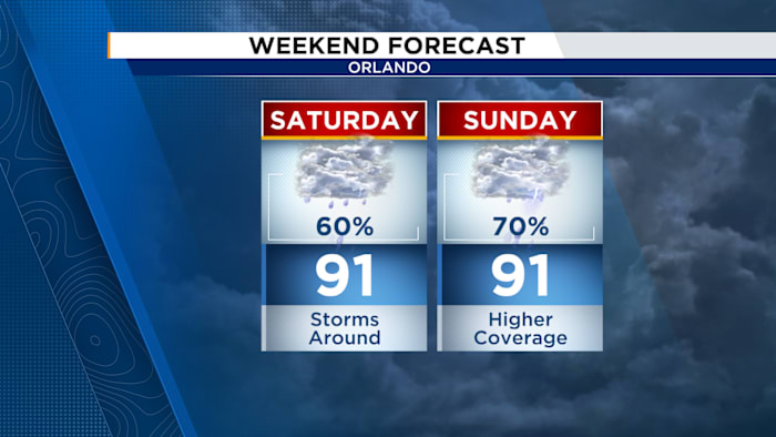
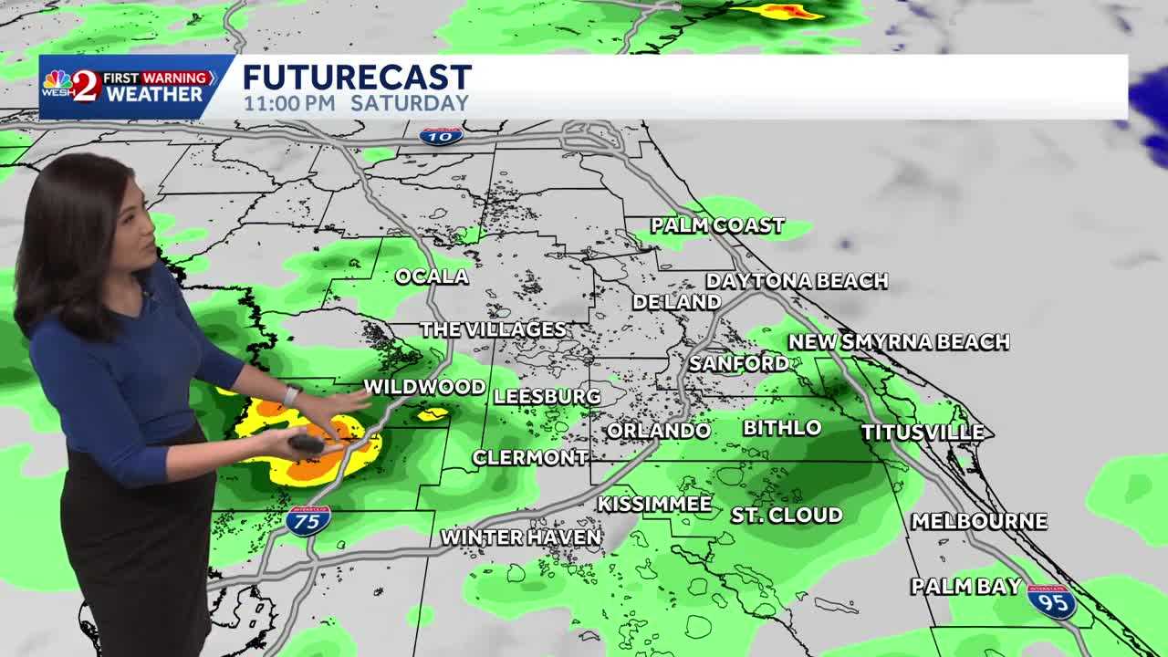
Our unsettled weather pattern continues for the weekend ahead as upper level troughiness continues to add instability into our atmosphere to aid in shower and thunderstorm development.SaturdayWith our winds coming out of the west, showers and storms will develop near I-75 and then push towards the beaches. We will begin the day mostly dry, with the exception of showers near and just north of Marion County. Showers will begin popping up near I-75 around 11am. These showers and storms will push towards I-4 just after lunchtime, 1-3pm, with these storms pushing towards I-95 and the beaches as we push into mid-afternoon. We will keep a few scattered showers until sunset, then quiet things down. Highs will hover around 90 degrees with high humidity.SundayWith an approaching cold front pushing into the Deep South by Sunday, more energy and instability will enter our skies. This will help to create more showers and thunderstorms. Storms will move from Northwest to Southeast. Showers and storm
Ad Space Available
mid-article · 728px
By Marcus Chen
WFTV Orlando Local
By Katherine Langford
WESH 2 Orlando
By Katherine Langford
WESH 2 Orlando

By Katherine Langford
WESH 2 Orlando